First a little history; Dating back to the Native Americans that lived in the south-western region of North America, the Mojave Road, or Old Government Road as it is also known as, has been a thoroughfare for transportation between the southern Colorado River and the coastal basin that is now Los Angeles. Natural water springs along the route created resting and re-hydration points for all travelers. In the early-mid 1800’s, the trail was used by Mexican traders. After the Mexican-American War in 1848, U.S. travelers heading west to the southern California region used the road. The U.S. Government even established several Army posts and “forts” along the path for the safety of travelers. Today, the road passes through the beautiful Mojave National Preserve, a U.S. National Park, dedicated to preserve a part unique section of the Mojave Desert. For more information, check out the links at the bottom of this article.
Our trip started the night before with the long haul out from Los Angeles area to the Colorado River area near Needles, CA and Laughlin, NV. Many hotels are located conveniently in the area if you wish to partake in their comforts.
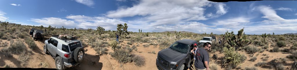
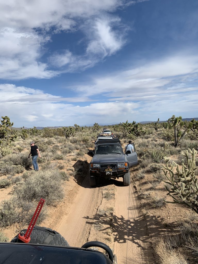
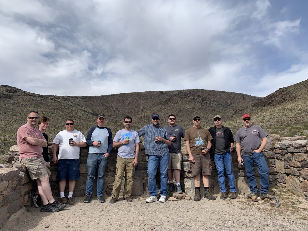
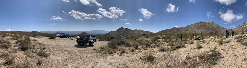
Saturday morning we met all the group of 6 rigs up at the point where Mojave Road crosses Needles highway, just south of Laughlin. We knew we had two days of dirt roads ahead so we all aired down, ate some breakfast and chatted for a bit. Our group consisted of two Toyota FZJ-80 Land Cruisers, one Toyota FJ Cruiser, one Jeep Wrangler, one lifted Chevy 2500, and lastly a stock Ford F150 FX4.
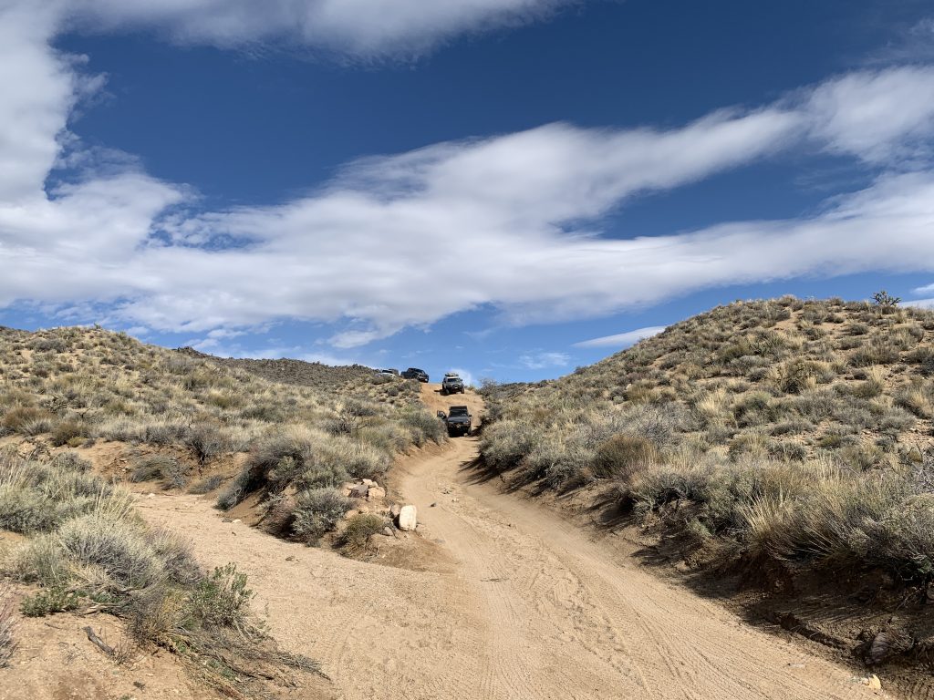
The first section between Needles Hwy and California Hwy 95 is 1/2 partly maintained road, followed by a narrow section of trail with some obstacles. This section is not hard, but would serve best with at least a stock 4×4 mid-sized vehicle with good ground clearance.
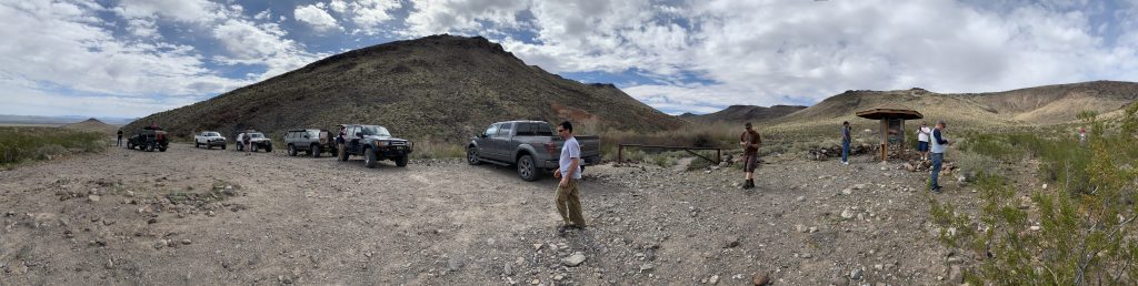
After crossing CA95, we started into the main section of the Mojave Road. Many other groups where staging in the area. Remember folks; if you need to stage more than 1 or 2 rigs, please find a place to pull off the trail as not to impede other travelers as we where.
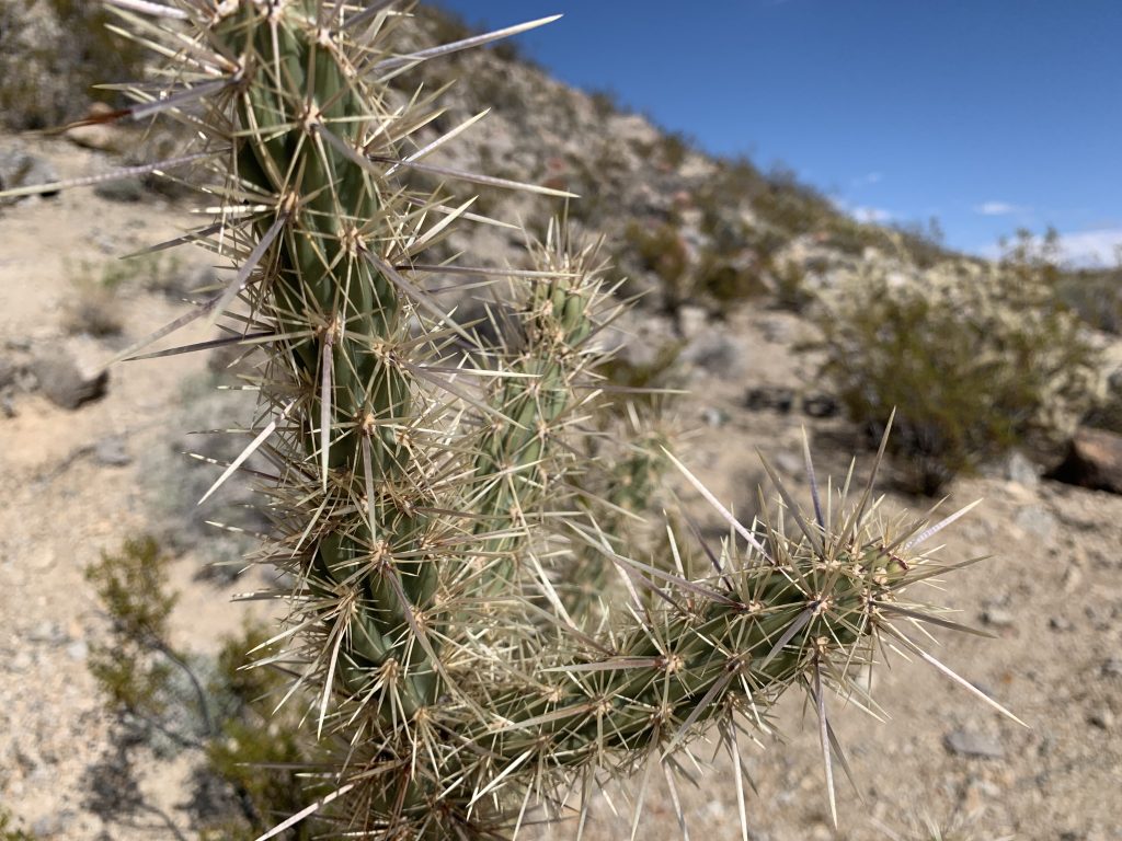
First stop on this section was old Fort Piute. The trail turns rocky and with the sharp shale and volcanic rock in the region, one should be careful of tire cuts. Fortunately we avoided any tire losses and stopped at the old fort for a tour of the grounds. Several stone foundations and corals footprints have been preserved and good NPS signage explains the area.
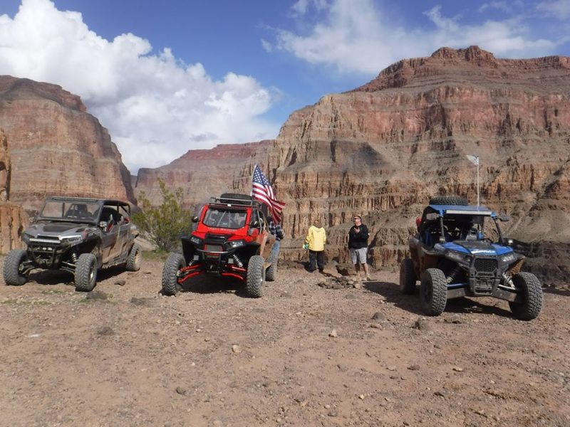
Back tracking a bit down the trail, we met backup with the current path of the Mojave Rd. The powerline road is the border of the NPS land. Anything west of the road requires a 50 state street legal vehicle (aka; AZ ATV plates do NOT qualify). We met up with some side-by-sides and let them know the trail rules. I know I’ll get heat for this, but this is a National Park folks. No National Park allows this type of vehicle. Please follow the rules and we can keep what lands we have left for motorized travel, giving them no basis to close them.
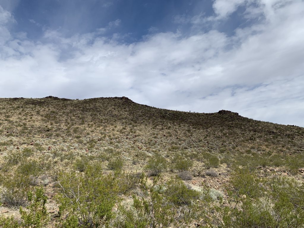
We crossed the Castle Mountains to the first of several plains areas on the trail. There once was a old School Bus along this part of the trail, but it has recently been moved to the Mojave Desert Heritage and Cultural Association in Goffs, CA. We also passed the Penny Can tree where travelers are welcome to toss a toll into the ornaments on the tree. The remains of the town of Lanfair and the Goffs VORTAC are sights along this section. We stopped at the VORTAC for lunch and allowed for the two pilots in the group to explain the function of the structure. (Details in links below).
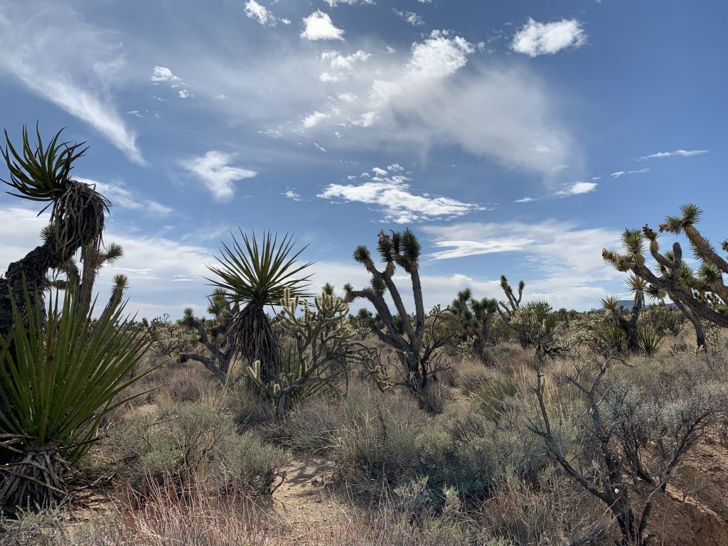
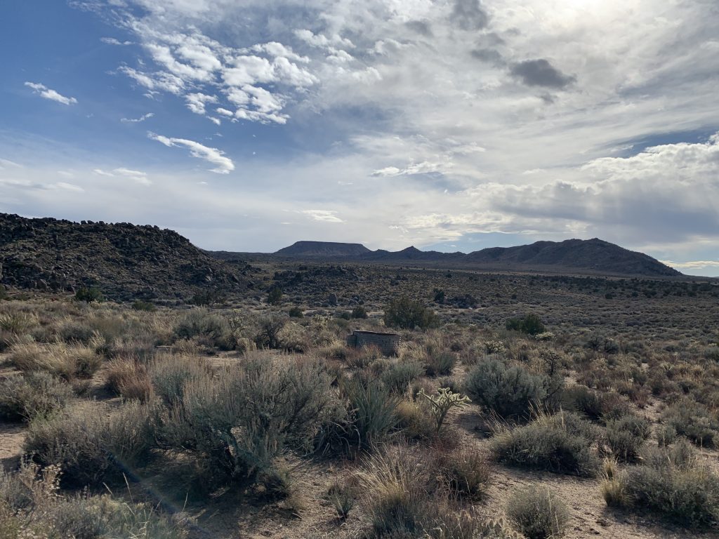
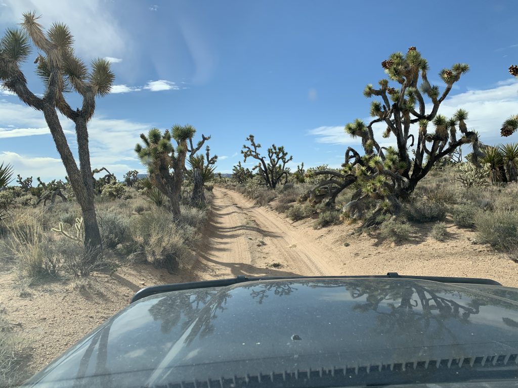
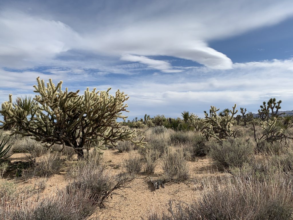
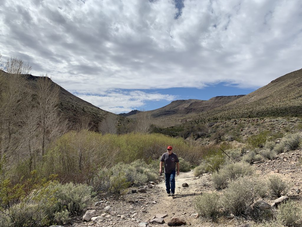
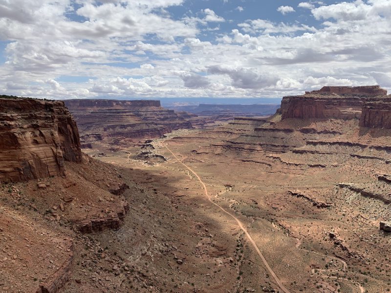
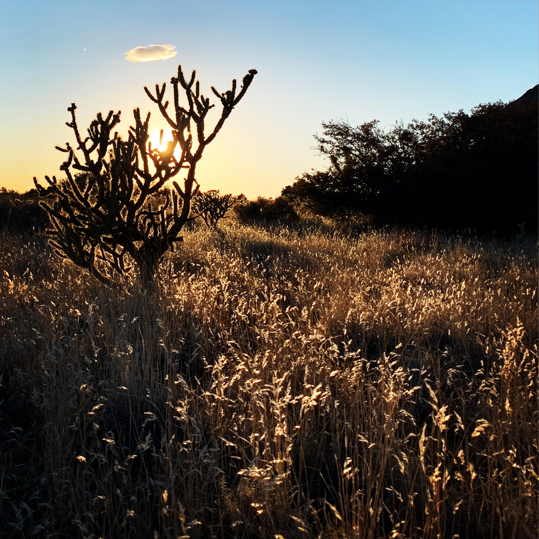
After lunch we continued on through an expansive Joshua Tree forest. It was amazing to see so many of these unique trees in one place. We finished up the sights for the day at Rock Springs. Here, a artist, long ago, built a rock cabin near a beautiful spring. You can walk out to the cabin and take a short loop trail to the springs. There is also a maintained vault toilet here for those in need. No camping is permitted at the location, but there are also day use picnic tables shaded by Pinion Pines. About a mile west is a great example of a “Government Hole” where the U.S. Government established large round water catchment systems for the natural springs, so road travelers would have better access to the water.
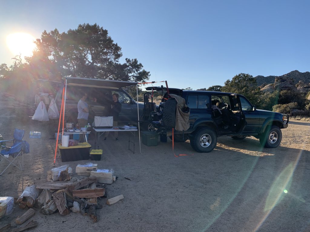
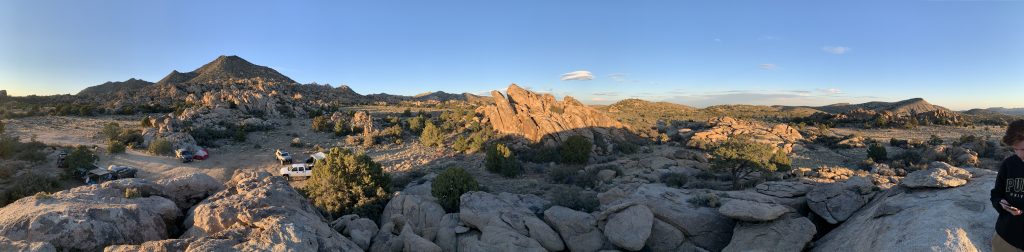
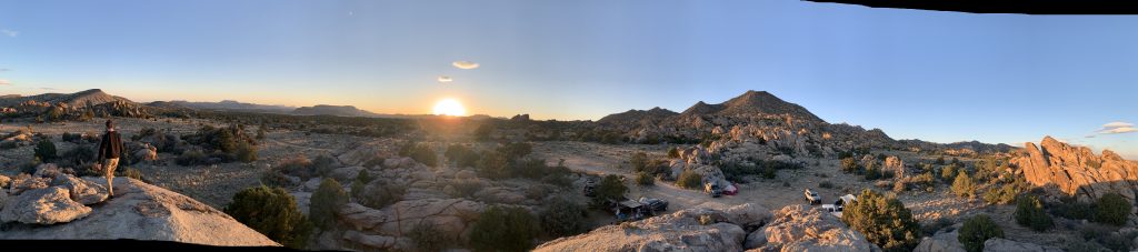
The late afternoon was quickly over taking us as was a chilly breeze, so we headed off to an amazing camp spot about 7 miles off the road. Surrounded by rock formations, this provided us with at least a little shelter from the storm wind storm that came in that night unexpectedly.
After dinner, adult beverages and chatter about the day around the fire lasted the night. Sleep however was not well had as the air turned more chilly than expected and the wind lasted through the night.
The next morning we groggily woke up, made some much needed coffee and packed for our second and last day on the trail.
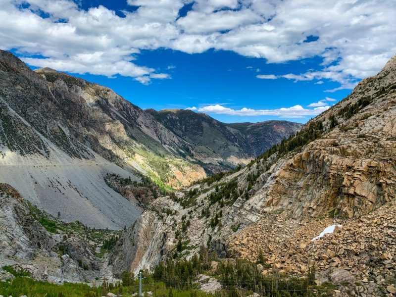
Driving back to the road, and continuing west bound, we made our miles through the Mid Hills and across Cima Road. Just a bit north on Cima road takes you to a small town of Cima, CA. There is a small, sometimes open General Store. That’s about it. South on Cima Rd takes you to Kelso, and the historic Kelso Depot, where a museum has been made of the old railroad depot there. It’s a beautiful location if you have the time. Also, 8 miles south of Kelso is the Kelso Dunes. There are camp sites at the very end of the road (pass the parking lot, and continue down the dirt road), for those interested.
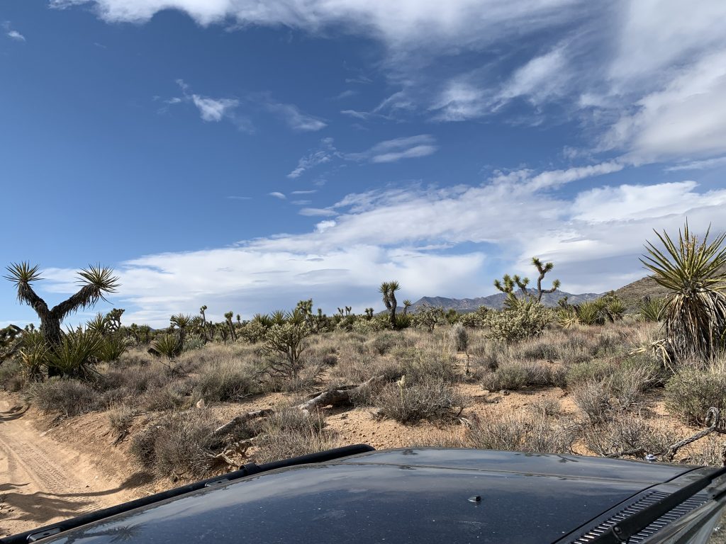
We skipped these locations this time, and continued west on the Mojave Road. We passed through another Joshua Tree forest, and a popular camp location in the rock formation just east of Marl Springs. This camp location can get full, so have a backup plan.
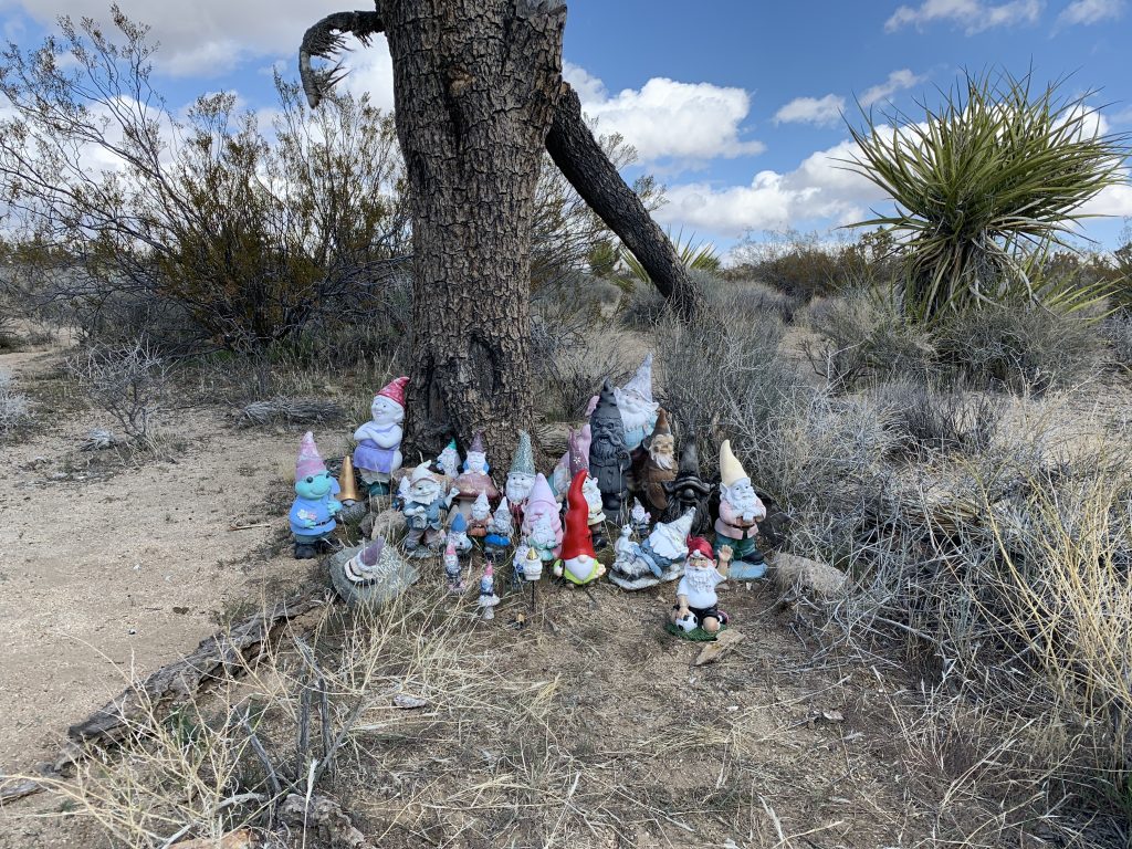
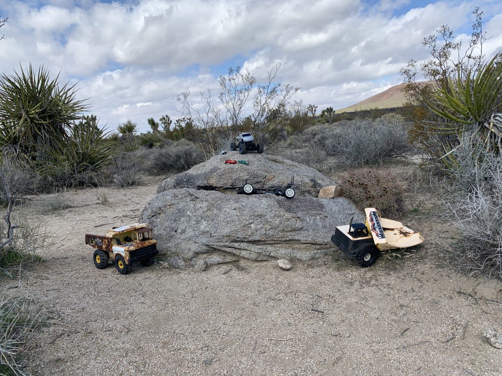
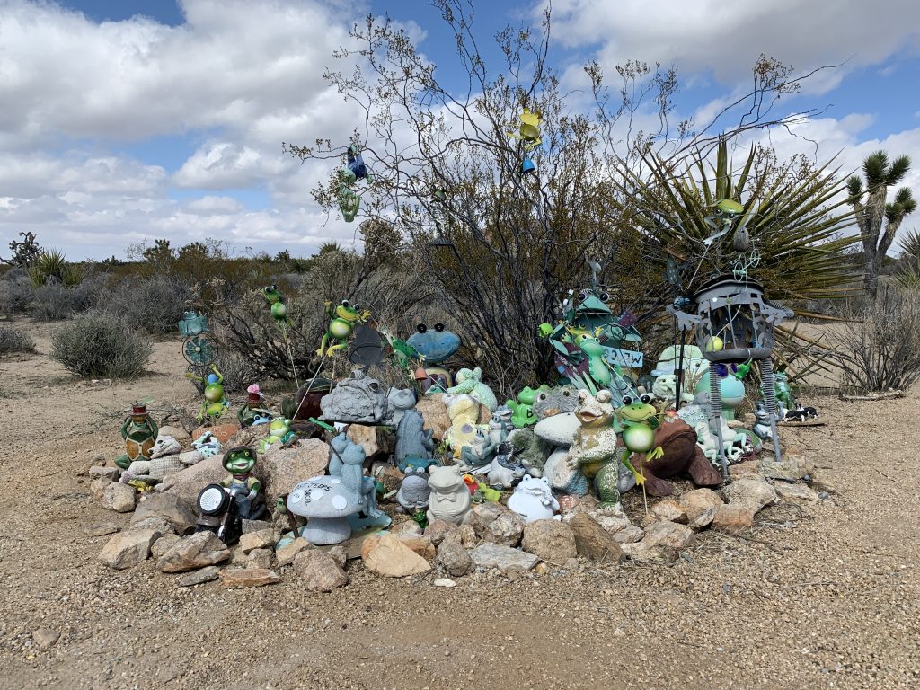
At Marl Springs (another Government Hole), you can roam around old corals, mines and foundations from a small travelers and mining settlement. Leaving Marl Springs, we climbed the hills leading to the Mojave Road Mailbox. This is a check-in book for travelers along the road. Everyone should make their mark in the book for history. It’s fun to read back in the book, to see who has been through there… travelers from all over. Nearby are several “monuments” you can search for. Did someone see a frog or troll?
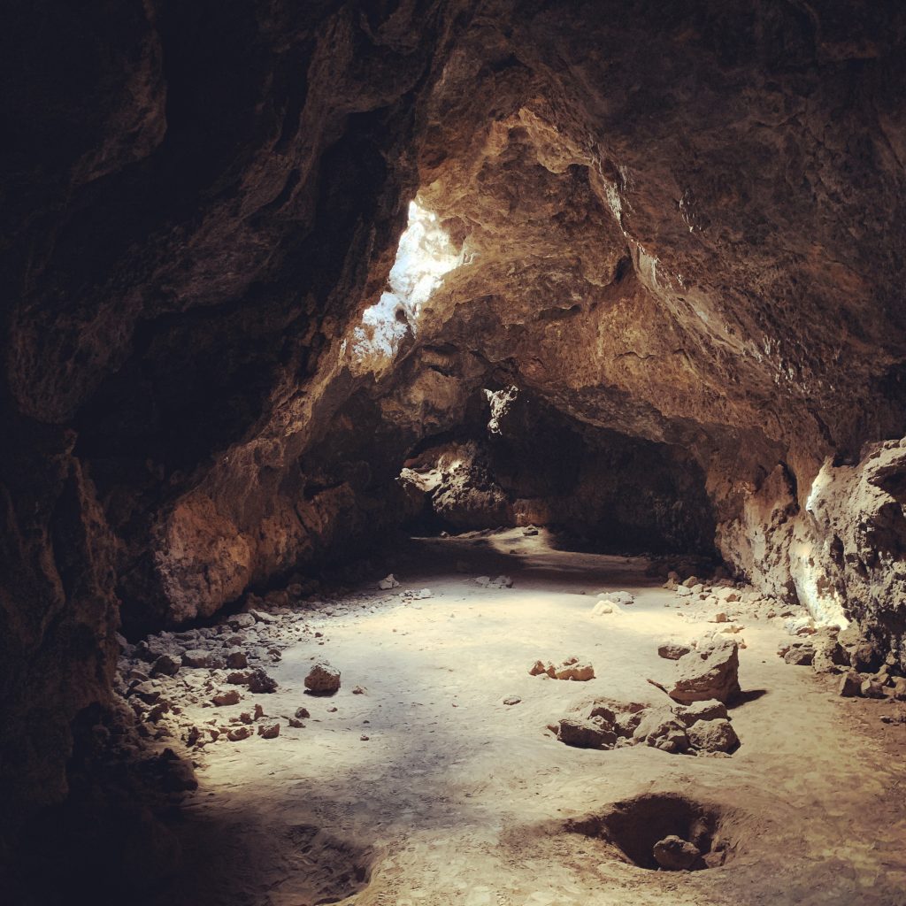
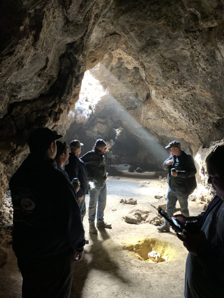
Our final stop on this trip was the Lava Tube. A short hike up the hill from the parking area leads to a stair case into the tube. Go left and crawl under the short tunnel section to open into a large cavern with skylights. On really sunny days, about noon, if you kick up some dust, you can create some great photo-ops here with the sun illuminating the dust in “rays”.
We somberly made our way to Kelbaker Road knowing we didnt have time this trip to finish the last section of trail between Kelbaker Rd and Afton Canyon. At the road, we all aired up and headed north to the town of Baker, CA and the 15 freeway to make our way home. Some of us stopped for a late lunch at the famous Mad Greek in Baker, others (me) had to get home, and parted ways with my group.
It was a great trip, and I know I be back soon!
(Trailing note: 2 weeks prior, I had done the Kelbaker to Afton section with with a buddy who was also on this trip. The path between Kelbaker and Soda Dry Lake is very rough and slow going. Soda Dry Lake was passable at the time, but can change with any rain in the area, so be careful. Visit the Travelers Monument on the lake and bring a rock. Look in the middle of the pile for a secret message to the universe, but please, keep it to yourself and other Mojave Road travelers. Afton Canyon river crossing is high right now. Please take care in the crossing and be safe!)
Mojave Road Wikipedia: https://en.wikipedia.org/wiki/Mojave_Road
NPS Mojave National Preserve: https://www.nps.gov/moja/index.htm
Mojave Desert Heritage and Cultural Association: https://www.mdhca.org/